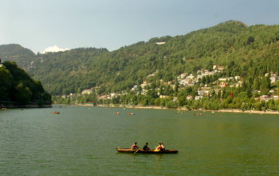
Nainital lake with Alma Hill and Sher-ka-Danda Ridge on the right ->
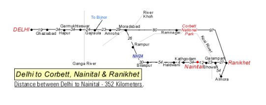
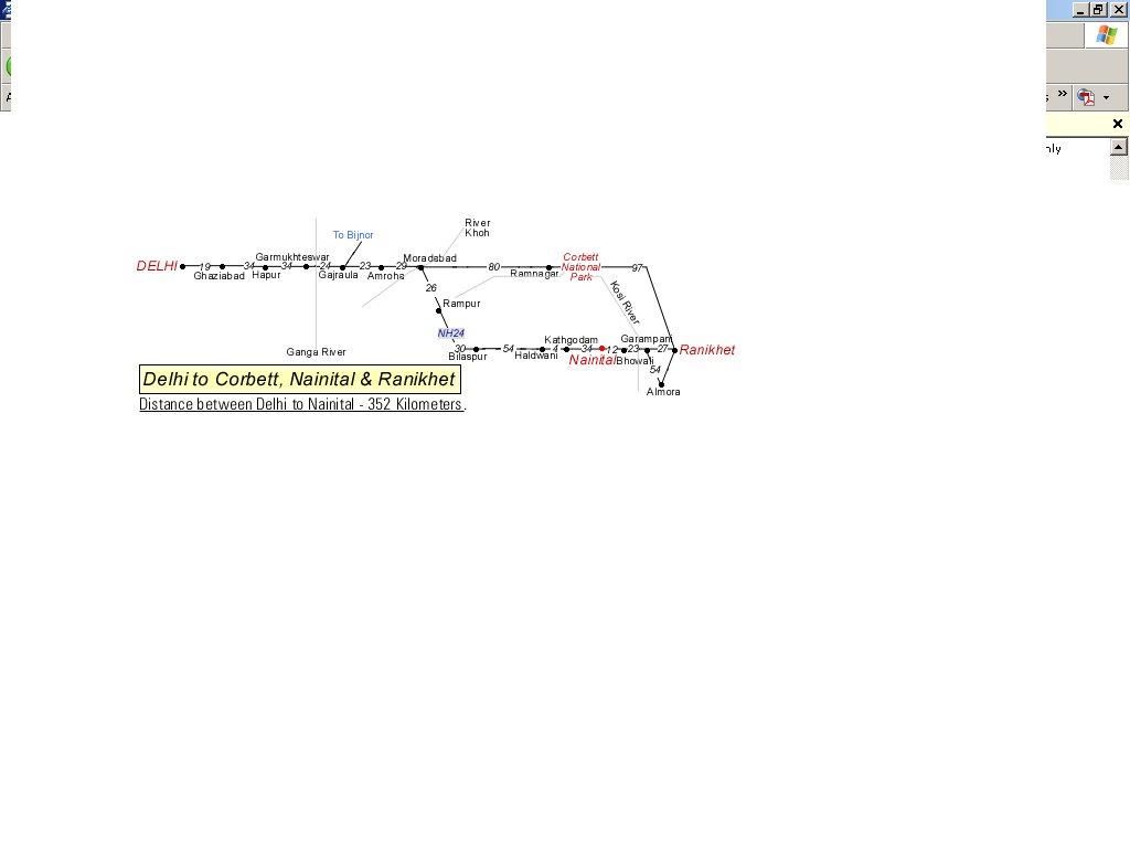
Nainital (29° 24' N, 79° 28' E)
Is a town in the Indian state of Uttaranchal and headquarters of Nainital District in the Kumaon foothills of the outer Himalaya. Situated at an altitude of 1938 m (6,350 ft) above sea-level, Nainital is set in a valley containing a pear-shaped lake, approximately 2 miles in circumference, and surrounded by mountains, of which the highest are Naina (2615 m) on the north, Deopatha (2438 m) on the west, and Ayarpatha (2278 m) on the south. From the tops of the higher peaks, "magnificent views can be obtained of the vast plain to the south, or of the mass of tangled ridges lying north, bounded by the great snowy range which forms the central axis of the Himalayas."[1]
Nainital has temperate summers (maximum temperature 27°C, or 80°F; minimum temperature 10°C, or 50°F) during which its population increases more than five fold with an annual influx of tourists predominantly from the plains of Northern India. In the winter, Nainital receives snowfall between December and February with the temperatures varying between a maximum of 15°C (59°F) and a minimum of -3°C (26°F).
No comments:
Post a Comment